Transcript
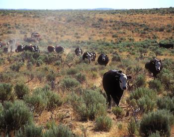
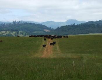
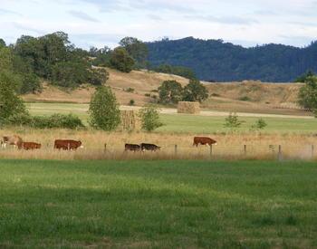
Where can you apply machine learning to make sense of data? In my case, I'm the livestock and rangeland field faculty in Malheur County. Think the entire landmass of the state of Hawaii, nearly 6.4 million acres. Seventy-two percent of the area is public lands with sagebrush rangelands. They expand as far as the eye can see. On a large part of these lands, proper grazing can promote functionally healthy landscapes that support wildlife, proper watershed function, healthy plants for pollinators, opportunities for recreation and hunting, and profitable rangeland-based businesses.
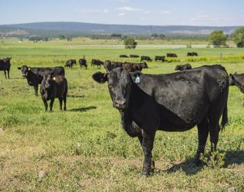
Public and private land data collection managers want to hone in the art and science of grazing. So I'm working with cow-calf producers to get a sense of animal movement on the rugged southeastern Oregon landscapes. In particular, I place GPS collars on cows to determine their movement across the sagebrush landscape. As the cows walk around, the GPS device communicates with satellites to record information. Now, data collected include index points, date, latitude, longitude, altitude, all the way to the number of satellites used to fix the signals. Every spreadsheet with data consists of 18 columns, and after combining collar data, I can get 6.5 million data points. How do you make sense of all those data? When was the last time you stared at an Excel screen, making every attempt to freeze columns and rows so that you can try to make even the smallest sense of what the numbers mean? How did you feel? Did you ever think there has to be another way? What if you were able to be more productive and more efficient after you dealt with Excel?
In my case, I connected with a geoscientist and mathematical modeler to take those six and a half million data points and analyze them in 10 minutes using machine learning. We created an app where we were able to eliminate staring at an Excel spreadsheet and from now on get data cleaned, processed, and visualized with the internet in 10 minutes. AnimalTracker, our animal tracker app, a package published in the Comprehensive R Archive Network, allows researchers and select cow-calf producers to visualize and summarize data almost instantaneously. Using AnimalTracker, we're able to see where cows travel, including where they get through the fence. In one instance, a cow-calf producer found where one cow crossed a rock wall to return to the ranch. Another producer on his own identified specific cows that like to climb high on the mountains. The scientific term for those animals or climbers.
Machine learning takes into consideration factors that we know as content experts. In short, it's the process by which bad data can be taken out so we can see clean data with a certain level of confidence. Each point, once visualized, provides more information that allows producers to make better management decisions. It's all using machine learning. However, let's get back to you. What data are critical for you to know? What would be beneficial for you to have accessible to make you more productive in your line of work? Is there a place where machine learning, even in the most basic forms, will prevent you from staring at that computer all day long? I bet there is. So I encourage you to be more strategic and consider where machine learning can help you address challenges in your field of expertise.
Machine learning is an applied way to get computers to work for you—to accomplish tasks that would previously take weeks or months to solve. In Oregon, cattle and calves are a leading agricultural commodity with gross farm sales frequently approaching $1 billion. Challenges cow-calf operators face in the region include theft, livestock disease, wildlife-livestock interactions, limited water, and harsh winters. Recent advances in GPS technology and battery life have allowed researchers to create a cow GPS collar for as low as $200 per cow; however, the bitter reality is that data can take weeks or months to process, analyze, and visualize.
As a result, Sergio Arispe, OSU Associate Professor and Livestock & Rangeland Extension Agent, created an interdisciplinary collaborative group with scientists and Extension Service personnel, regionally and nationally, that used machine learning to process and visualize GPS data from cow collars. The animaltracker package was created in 2020 and uses a web-based browser to process, analyze, and visualize 100,000 lines of data in less than a minute. They are working with cattle producers on useful functions with the goal to make these user-friendly technologies available to track animals. These innovative, interdisciplinary efforts are a clear way to build exciting teams, address critical issues, obtain funding, promote scholarly work and draw national and/or international collaborators.