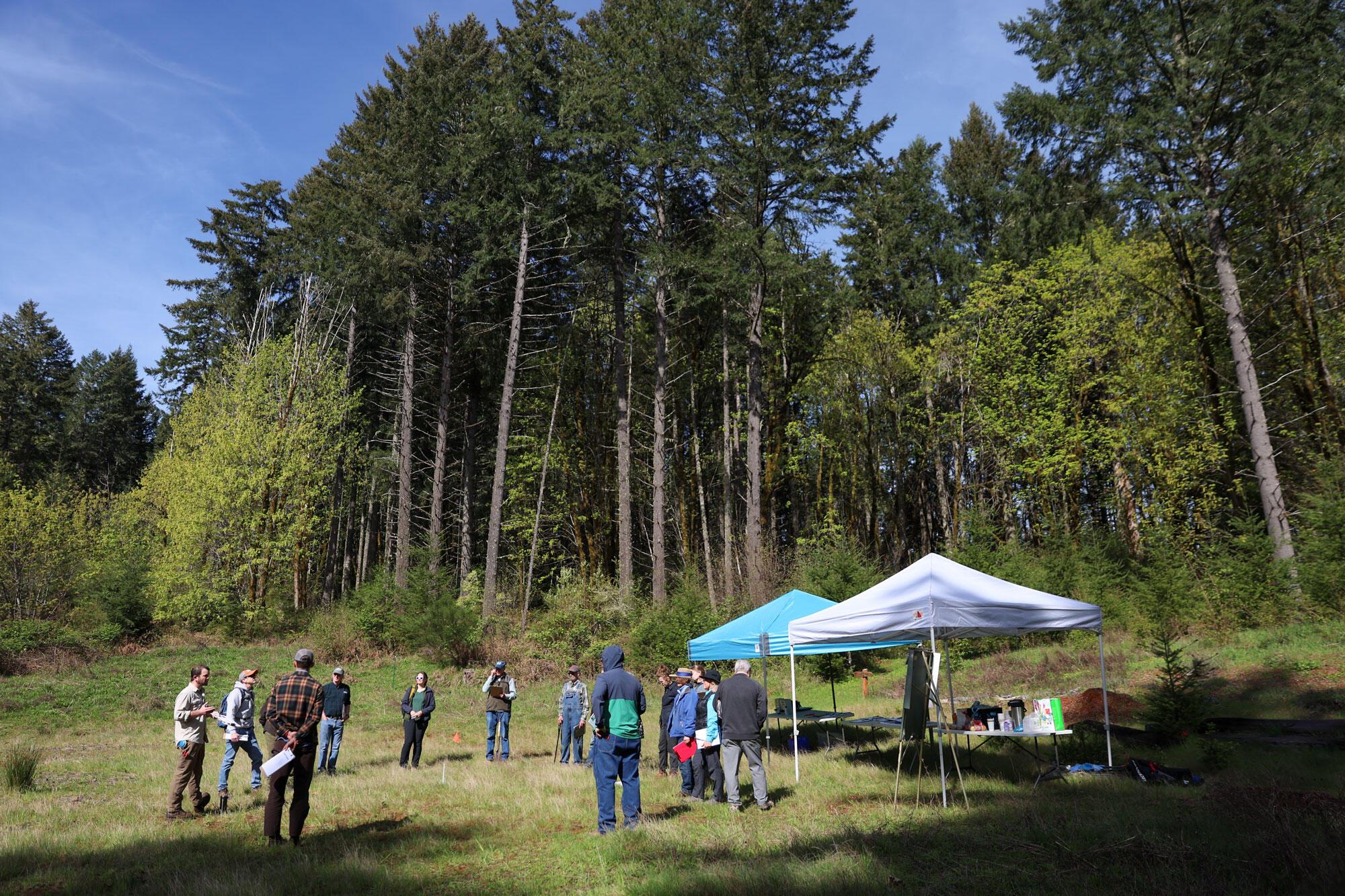
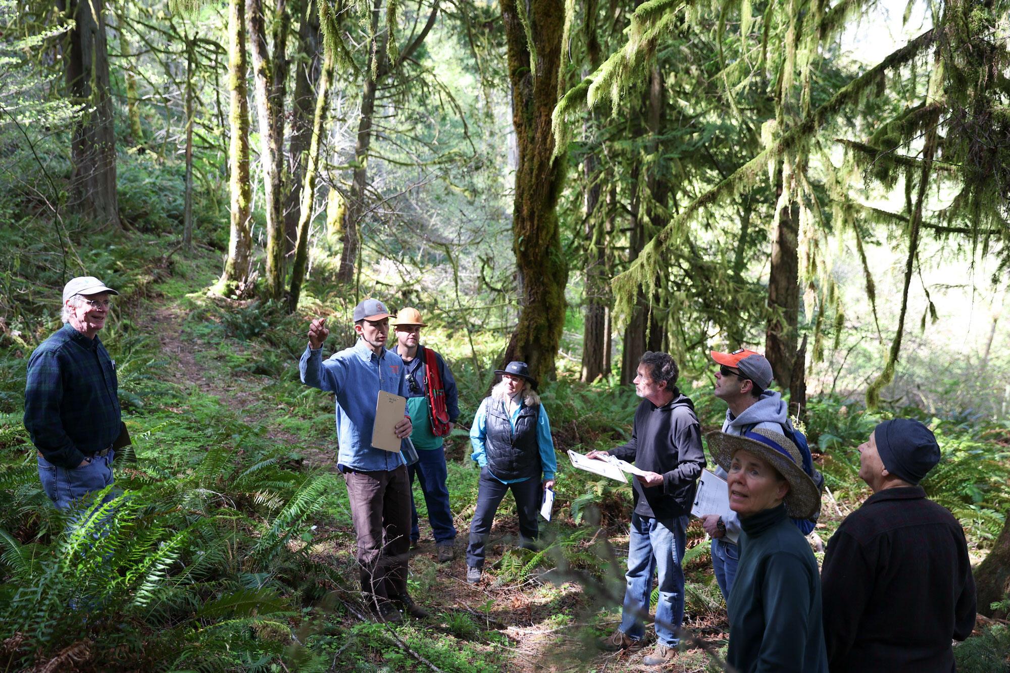
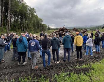
GASTON, Ore. — Sunlight cut through a thick canopy of Douglas-fir, bigleaf maple, Oregon white oak and western redcedar as a group of woodland owners, land managers and natural resource professionals paused along a trail in the Rubie P. Matteson Demonstration Forest.
Sword ferns crowded the trail edges. Moss climbed the trunks of tall trees. Clipboards in hand, participants looked from the forest floor to the canopy, studying how water, soil, slope, tree species and past land use shaped the forest in front of them.
"The thing that we’re trying to think about and focus on is: How do we make decisions today for the uncertainty of future climates, with warming temperatures, ongoing drought?”
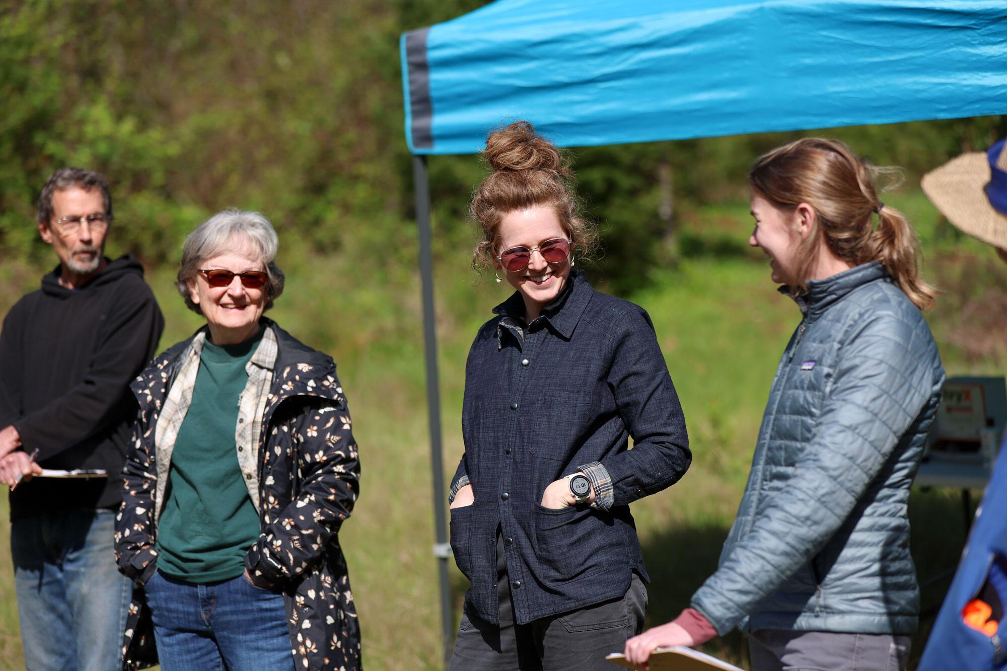
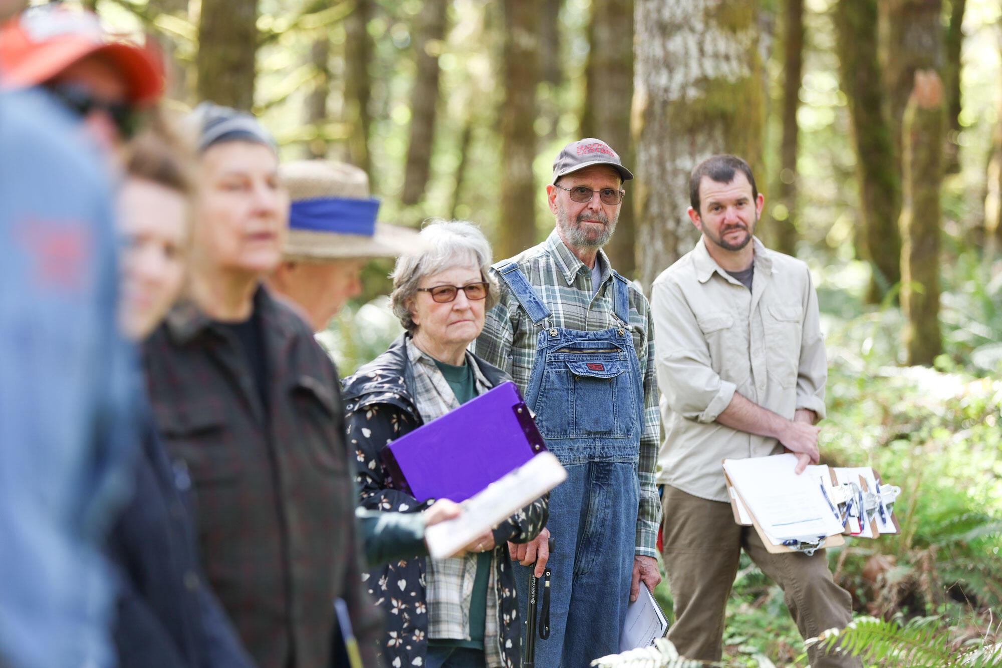
Led by the Oregon State University Extension Service and partners, the Climate-Informed Forestry Tour, held in April at OSU’s Matteson Demonstration Forest, gave participants a chance to assess a forest for climate vulnerabilities, from drought stress and soil conditions to past land use, stand density and tree health.
The event helped introduce the nearly finished guide, Climate-Informed Forestry: Management Strategies for Washington County, Oregon, which is planned to be available in July. The guide is designed to help woodland owners, forestry professionals and forest managers make long-term decisions as forests face rising temperatures, prolonged heat events, lower and less consistent precipitation, heightened wildfire risk and greater uncertainty.
Peter Hayes with Hyla Woods, a multigenerational experimental forest business, said the effort grew from a pair of questions that his family and others wrestle with.
“How will we best make our forests most resilient to increasing climate-related stresses, and how will our forests best contribute to solutions to climate challenges?” Hayes said.
Guide grew from local questions
The guide grew from conversations that began about three years ago among local forest owners, agency staff and natural resource professionals, including Brandy Saffell of Sanicula Forest Consulting and formerly of the Tualatin Soil and Water Conservation District, and Mike Cafferata, then district forester in the Oregon Department of Forestry’s Forest Grove office.
Saffell said the need became clear as landowners and agencies saw more signs of stress in Washington County forests.
“It was a combination of several events in the county: more dead trees, a lot of places where people were having trouble establishing forests because of hotter, drier conditions,” Saffell said. “And then we were having more fires than were common in Washington County.”
People were asking the Tualatin Soil and Water Conservation District, ODF and Extension what they could do, she said, but the answers available were often too broad.
“We didn’t feel like we had great localized answers for how people can start preparing themselves for these changes,” Saffell said.
Andrew Felton, forest conservation specialist with the Tualatin Soil and Water Conservation District, said the group wanted to move from regional climate projections to practical guidance for Washington County.
“A lot of the guidance out there is at the Pacific Northwest level,” Felton said. “The guide takes many of these regional recommendations and regional projections on climate and boils it down to our local level.”
The guide was created by a work group of local agency professionals, forest owners and managers and private forestry consultants. It offers options based on site conditions, ownership goals, risk tolerance and economic constraints.
“What this guide is saying is not that it’s a prescription of you must do A, B and C, but really, here’s a potluck,” Felton said. “Look at this and take what works for you but leave what doesn’t.”
Jake Barker, OSU Extension forester for Columbia, Washington and Yamhill counties, said climate-informed forestry starts with familiar forestry principles but adds a future-focused lens.
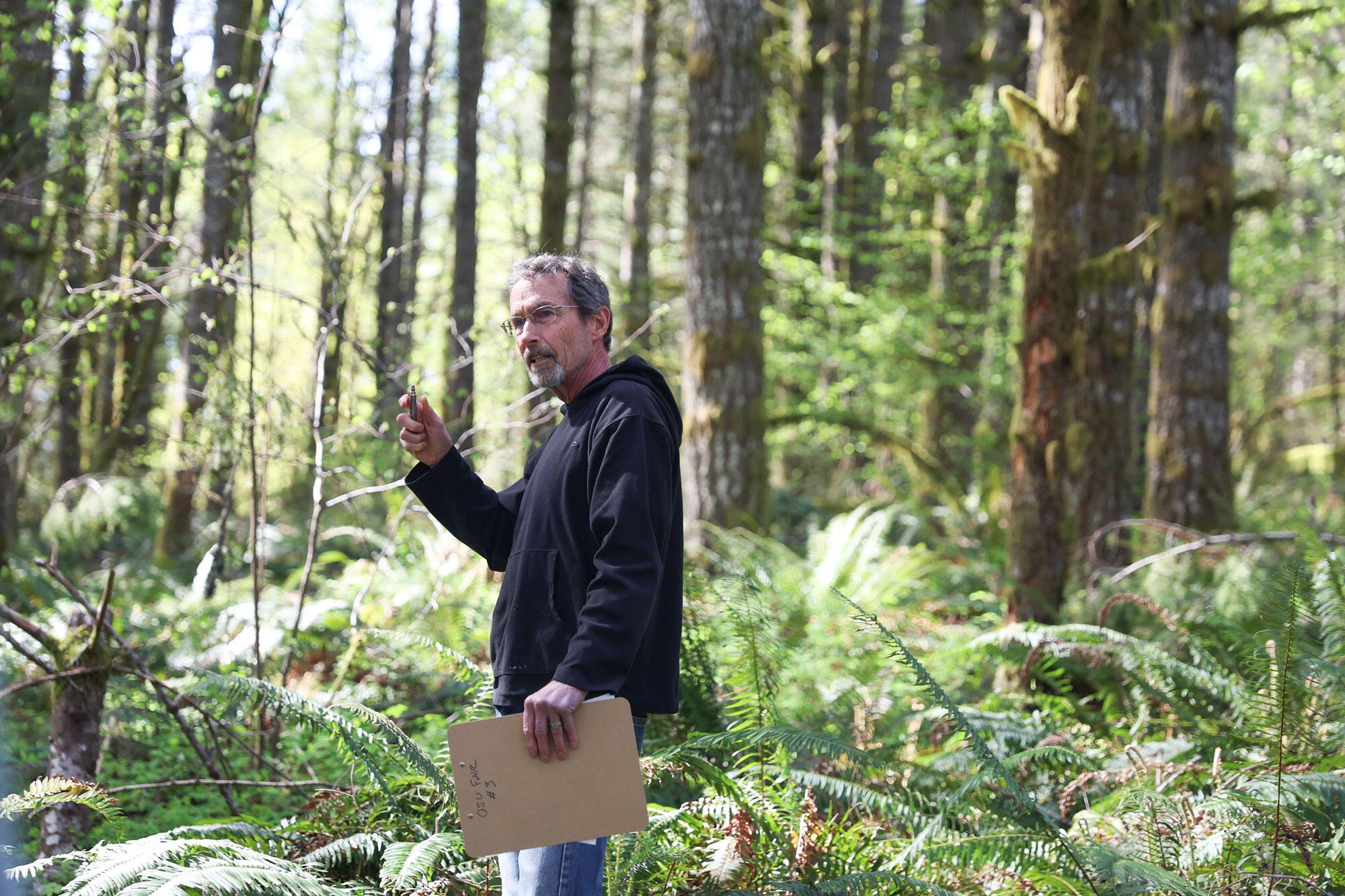
“A lot of it is just good forestry,” Barker said. “It’s understanding your site, knowing where you are, what are your conditions. But the thing that we’re trying to think about and focus on is: How do we make decisions today for the uncertainty of future climates, with warming temperatures, ongoing drought?”
Hayes said the guide is only one part of the work.
“The guide is a means to a larger end,” he said. “How do we build a community of practice tied to a particular place to say, how do we make our forests more resilient, productive and useful?”
Washington County forests face changing conditions
The guide notes that local forest managers are reporting difficulty establishing trees, higher mortality in mature trees, increased pest and disease damage, and more frequent wildfire ignitions and close calls. Climate projections indicate that by the 2070s, Washington County will experience temperatures similar to current conditions about 175 miles to the south in the Roseburg area, with even greater warming by the end of the century.
For forest managers making decisions that may play out over decades, those changes matter.
Barker pointed to oak trees that predated many of the conifers around them. Historically, he said, much of the area would have been oak woodland, maintained by Kalapuya Indigenous stewardship and low-intensity fire. Over time, Douglas-fir and other conifers grew above the oaks and began shading them out.
On warmer, drier sites — especially south-facing slopes and ridgetops — that history matters. So do soil depth, aspect, slope, past disturbance, root disease, public access and surrounding land uses. Those are often the places where climate-driven stress may show up first, making them priorities for thinning, shifting forest composition and considering other adaptive strategies.
Barker said some parts of Matteson are already showing signs of drought and heat stress. The area has not experienced large recent wildfires like other parts of Oregon, but landowners are increasingly thinking about higher temperatures, fire risk and forest resilience.
Site assessment adds a climate lens
After the larger group split into two along the trail, Mitch Taylor, a retired reforestation manager with the Oregon Department of Forestry in Forest Grove, facilitated site assessment discussions.
Taylor emphasized that the assessment tool is not meant to replace traditional forestry knowledge. It is meant to sharpen it.
“There’s a recognition that business as usual, doing things in the traditional way, might not work anymore,” Taylor said. “Think about all the things you would normally look at. I’m not saying don’t do that but add the climate lens to all the other things that you’re trying to figure out.”
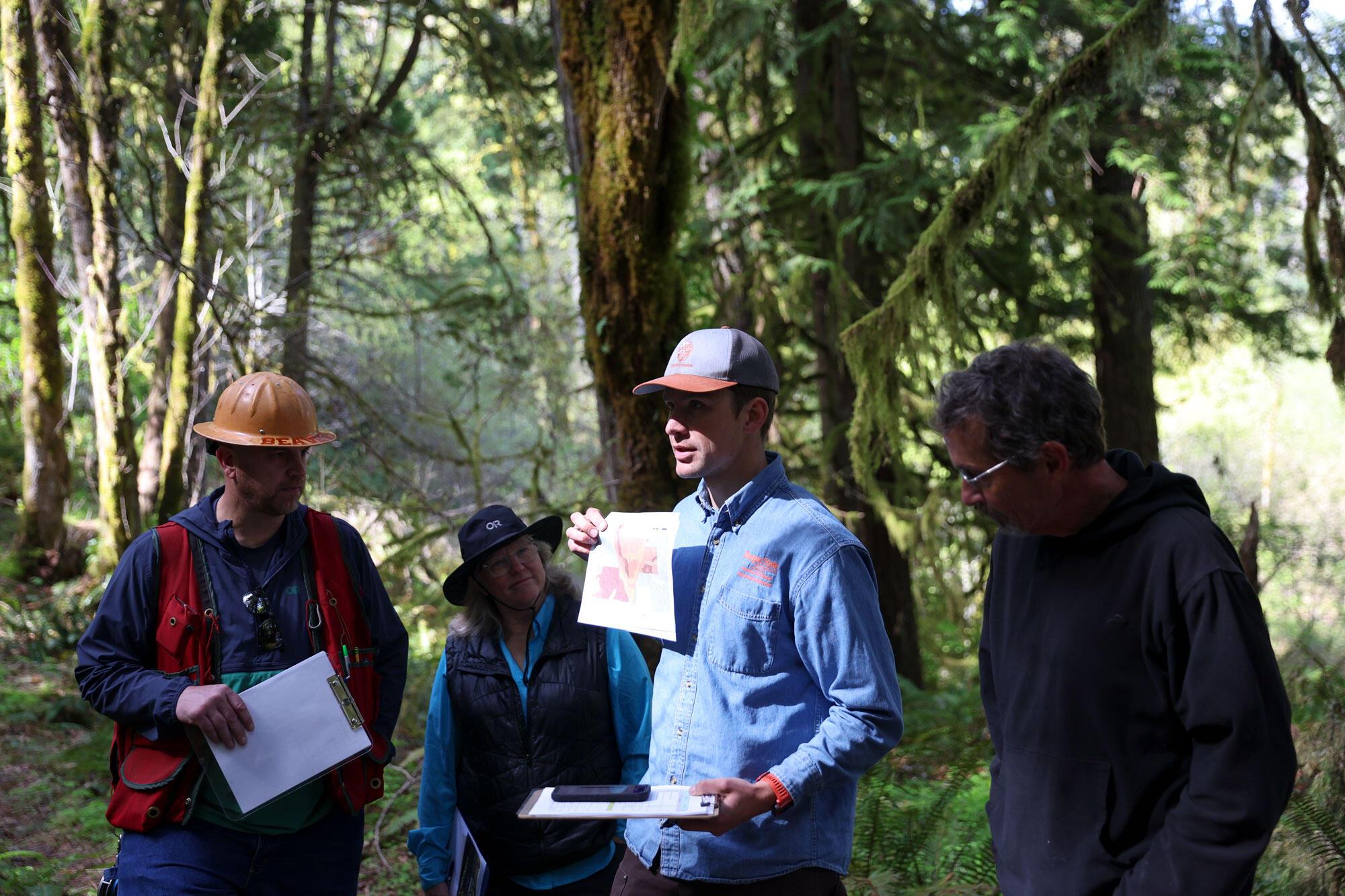
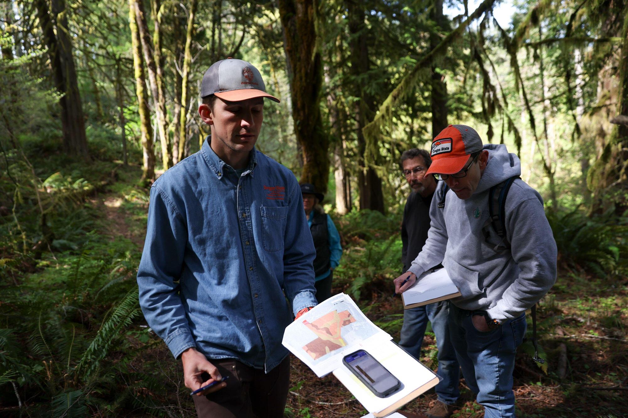
The site vulnerability assessment in the guide helps managers assess a site’s climate vulnerability as low, moderate or high. It considers factors including elevation, aspect, soil characteristics, drainage and landslide history.
The group discussed what could be learned before stepping into the forest: soil maps, elevation, slope, aspect, historical aerial imagery, LIDAR data and past land use. Taylor and Barker encouraged participants to compare that information with what they could see on the ground.
At one stop, the group gathered in filtered light surrounded by ferns, mossy trunks and a dense green understory. They discussed signs of laminated root rot and wind-thrown trees. Taylor said landowners should be cautious about assuming every problem is caused by climate change. Instead, they should ask what else may be contributing — disease, soil conditions, slope, past management or storm damage.
“Ask why, as much as you can,” Taylor said. “Is this climate-related, or is there some other reason, other impact?”
Still, he added, climate can interact with other forest stressors.
“Even if you have root rot, climate can still enhance or accelerate it,” Taylor said.
Tour emphasized learning and local decisions
Throughout the tour, the group returned to the same theme: climate-informed forestry is not about certainty. It is about making better decisions in the face of uncertainty.
The guide presents 10 climate-informed forest management strategies. Several were visible or discussed at Matteson, including managing stand density, creating forest gaps, preparing for fire and retaining multiple native species.
The guide also addresses economic considerations, including cost-share programs and tax assessment implications. It acknowledges that climate-informed practices may require higher upfront investment but can support long-term risk reduction, forest productivity and resilience.
For Barker, the Matteson tour was a way to connect the guide to the lived experience of people managing forests across Washington County.
“What are you seeing on your forest?” Barker asked the group. “What are you seeing in your neck of the woods, the place that you’re familiar with?”
That exchange — between research, local knowledge and on-the-ground observation — is central to the guide’s purpose, Saffell said. Landowners were involved in writing and reviewing the guide so it would reflect real management choices, not just professional recommendations.
“I think in the end, it ended up being way stronger because of that,” Saffell said. “And there was community buy-in, because everyone felt like their voice was heard.”