This publication provides direction on estimating soil moisture by the "feel and appearance" method; taking a some soil and rolling it up in a ball then squeezing it between your thumb and forefinger to form a ribbon and noting how it appears and feels. Compare what you see with photographs and/or charts to estimate percent water available and the inches depleted below field capacity.
This report includes preliminary data for the second of a three-year study. Since this year was a record drought year, results could vary from a normal rainfall year. Finalized data and observations will be released in future as peer-reviewed studies, reports, and extension articles. For more information, please visit the RDFA project page. .
Weed control is a constant challenge for ranchers and homeowners alike. The best way to control weeds is to create an environment conducive to healthy grass growth. Here's a detailed guide on how to do it.
Collection of forage resources, mostly for Coastal Oregon regions. Includes studies on fiber digestibility, phosphoric soil, rations, and cost/benefit of growing and buying locally grown forages.
When winter approaches, it’s time to check your weed control plans. Noxious weeds are best controlled if you track them carefully. Weed mapping and weed calendaring are two activities important to tracking weeds so that you can properly control them. Here are a few tips to get you started.
Rangeland, pastures and hay fields throughout Oregon often contain poisonous plants that are dangerous to livestock. Poisonous plants, however, can be avoided or managed in a variety of ways to limit livestock losses.
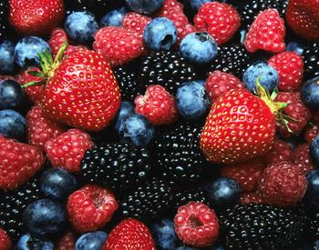
Live on the coast? Check out these 6 new publications on the best ways to grow your favorite berries! We suggest you start with the overview, then move on to the crop specific guides.