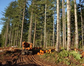
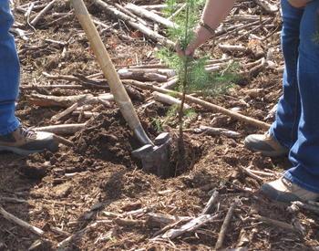
One of the first steps in preparing a Forest Management Plan is gathering information about your property and the location and condition of forested areas on it. In this webinar, participants will be offered a hands-on introduction to Landmapper, a new and free online tool that makes it easier than ever to quickly gather maps as you begin work on a Forest Management Plan (or if you’re just curious to learn more about the soils, terrain, and other aspects of your property).
Originally aired on December 8, 2020
Instructors:
- David Diaz, Director of Forestry Technology & Analytics, Ecotrust
- Sara Loreno, Natural Resources Data Scientist, Ecotrust
Resources:
Want to learn more about this topic? Explore more resources from OSU Extension:
Estate and succession planning, Forest health and management, Rangeland conservation and management